640-acres for only $195/acre
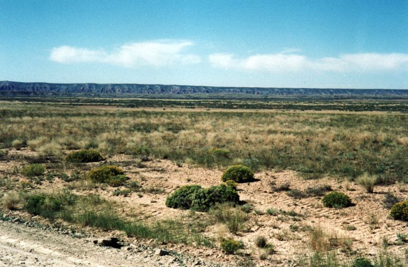
Description: 640-acres constitutes an entire section of land and measures 4 miles around the perimeter. In theory almost 14 million people could stand on 640-acres at the same time! History proves it is literally impossible to lose money owning rural land if purchased cheap enough and held long enough.
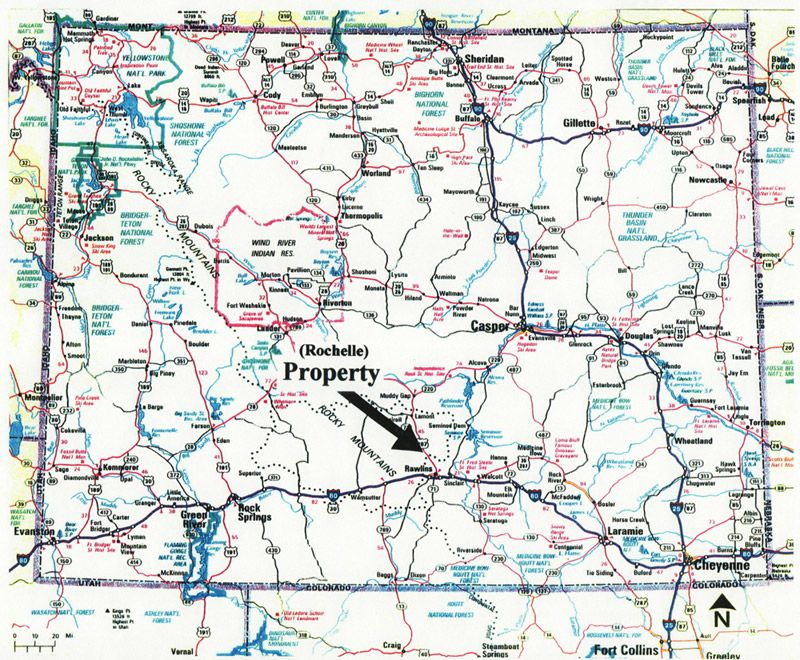
County/State: Carbon County/Wyoming
Size: 640-acres
Price: $124,800 ($195/ac) with $4,800 down and the balance of $120,000 payable at $1,080/mo (amortized over 240 months including 9% interest with no prepayment penalties).
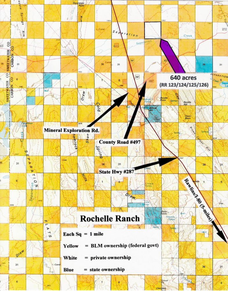
Legal: SEC 21 T24N R88W, Carbon County, WY (RR123/124/125/126)
Access/Roads: This property is located in the checkerboard area (meaning alternate sections divided between private and the federal ownership) and access is per long standing BLM (Bureau of Land Management) policies (meaning private owners can cross BLM land to get to private property but the public can’t cross private lands to get to BLM property). An actual road, however, may or may not exist at this time.
Mineral Rights: As with most oil producing states the mineral rights have been owned by the exploration companies for many years but a landowner would receive some form of compensation if wells were ever drilled.
Zoning: Basically “agricultural” and if additional uses are anticipated you should contact Carbon County Planning & Zoning Department at (307) 328-2651.
Surveys: All sections were surveyed by the federal government at some time in the past but a private survey has not been completed.
Property Taxes: Approximately $300 annually
Improvements: This is raw, undeveloped land and no improvements or homeowner services of any nature are being represented.
Directions: From Rawlins, Wyoming drive north on Hwy 287 approximately 15-miles to where it intersects with Mineral Exploration Road (located on the left or west side of the highway) and County Road 497 (located on the right or east side of the highway); then refer to the parcel map with the arrow pointing to the property (remember that each square on the map represents one square mile).
Contact Person: Doug Caffey (714) 742-8374 or email doug@cheaplandinamerica.com


 Powered by Geodesic Solutions, LLC